Drone Photography in Cochrane, Alberta
Perspective changes everything
Does VeePo fly drones in Cochrane?
Yes. VeePo Media — the aerial photography and drone cinematography division of VeePo — flies routinely in Cochrane and across the foothills. The airspace is Class G uncontrolled, so authorisation is not normally required, and typical mobilisation from the Calgary flight base is 35 minutes. Every flight is conducted under a Transport Canada RPAS Pilot Certificate for Advanced Operations.
A rising reveal from valley floor to bench height puts the elevation back into the frame, delivered in the standard turnaround. See the full Cochrane airspace and conditions page.
Cochrane at a glance.
- Flight base
- Calgary, Alberta
- Drive time from base
- 35 minutes
- Airspace
- Class G uncontrolled
- Nearest aerodrome
- Springbank Airport (CYBW)
- Authorisation required
- No
- Certification
- Transport Canada RPAS Pilot Certificate — Advanced Operations
- Response
- Reply within one business day
- Packages from
- $600
- Airspace last verified
- 2026-08-31
Flying Cochrane: the ground truth.
A ground-level listing photo flattens that entirely — the buyer cannot see that the house sits above the valley, which is the single thing they are paying for.
Airspace.
Cochrane sits west of the Springbank control zone in uncontrolled airspace. The eastern approach to town runs nearer the CYBW boundary than the town limits suggest, so the specific address is confirmed against NAV Drone before every flight.
Terrain.
A hillside town on the north bank of the Bow, with benches stepping up from the river and the foothills rising immediately west.
Wind.
Squarely in the chinook belt. West wind accelerates as it comes off the foothills, and the valley below town channels it further.
Light.
West-facing, so the last light of the day is the town's best light. Snow cover typically holds on the upper benches after it has gone from Calgary.
On the ground.
Town of Cochrane park and pathway rules govern launch and landing on municipal land; private-property launch is the default. About 35 minutes from the Calgary base on Highway 1A or Highway 1. Comfortably a same-day booking.
Communities.
Flown across GlenEagles, Sunset Ridge, Riversong, Heritage Hills, the Bow River valley.
What we fly in Cochrane.
Chiefly luxury residential, acreage estate, new build subdivision, commercial retail — all delivered through the same four services, scoped and quoted before the shoot is booked.
Aerial photography
Stills from altitude — property, land, site and campaign imagery.
In detailAerial cinematography
Moving-camera work: orbits, reveals, push-ins, tracking passes.
In detailReal estate media
Listing packages that show lot, approach, light and neighbourhood context.
In detailFPV drone filming
Single-take flythroughs that a conventional airframe cannot fly.
In detailWhat a Cochrane shoot costs.
Six sectors, three tiers each — Essential, Elevated and Signature — with every inclusion named and valued before you book. Travel within Alberta is included.
- Real Estatefrom $600
- Wedding Venuesfrom $800
- Agriculturefrom $700
- Constructionfrom $750
- Tourismfrom $1,800
- Commercialfrom $1,400
Every package includes the reshoot guarantee. See full pricing and what is included.
Selected aerial work.
Real Estate · 2026
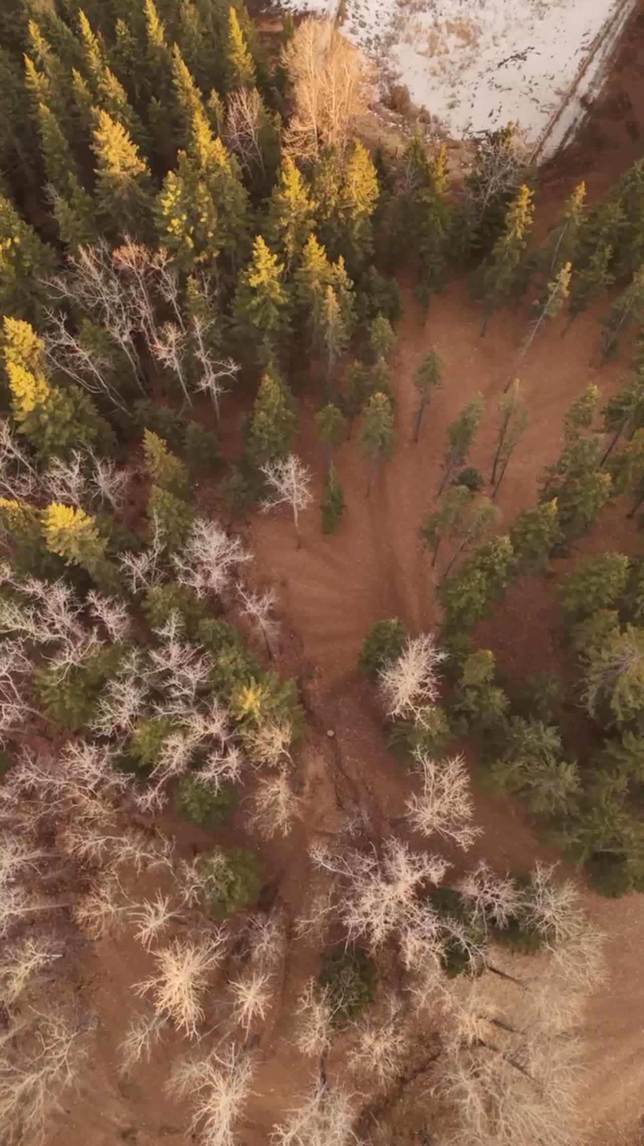
Among the Pines
An Alberta acreage shown the way it actually feels — from above the canopy, and from inside the trees.
Tourism · 2025
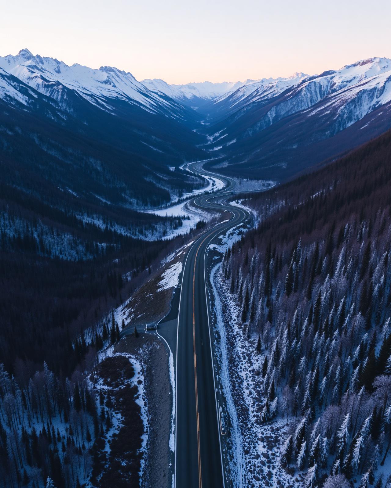
Northern Roads
A campaign about the road as much as the destination.
Lifestyle · 2024
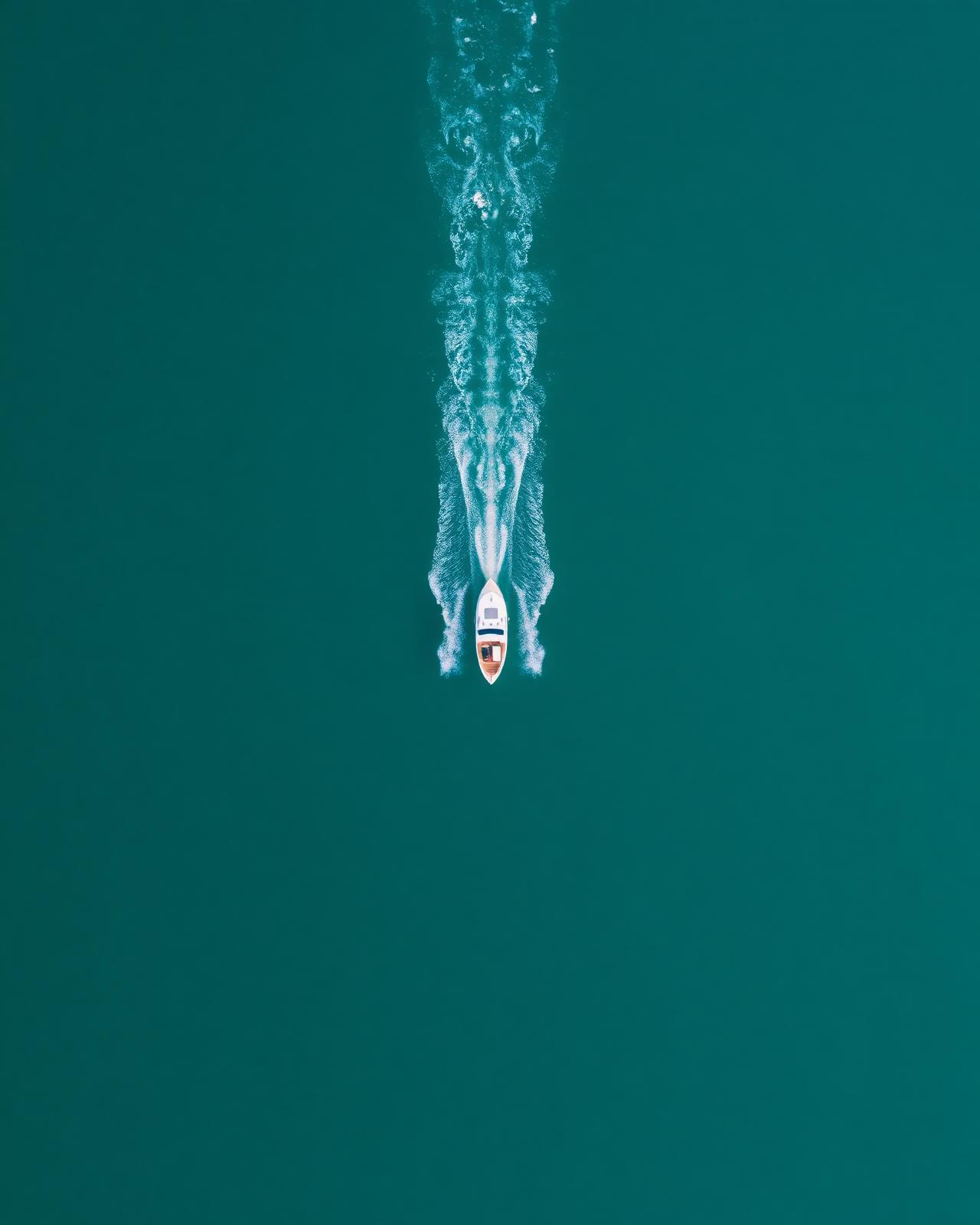
Above the Lake
A morning on the water, captured at the pace of the morning itself.
Flown across Cochrane & the Foothills.
Cochrane sits west of the Springbank (CYBW) control zone in largely uncontrolled Class G airspace, though the eastern approach to town runs closer to the CYBW boundary than the town limits suggest.
The full Cochrane corridorNearest to Cochrane.
- Drone photography in GlenEagles3 km · Class G uncontrolled
- Drone photography in Bearspaw14 km · Mixed — CYBW control zone boundary
- Drone photography in Ghost Lake19 km · Class G uncontrolled
- Drone photography in Springbank14 km · Class C control zone (CYBW)
- Drone photography in Bragg Creek28 km · Class G uncontrolled
VeePo Media serves 228 locations across 17 corridors in Alberta and British Columbia. Every area we serve, with its airspace classification.
Cochrane drone photography FAQ
Do you fly drones in Cochrane, Alberta?
Yes. VeePo Media — the aerial division of VeePo — flies drone photography and cinematography in Cochrane. The airspace is Class G uncontrolled and authorisation is not normally required, though the specific address is confirmed against NAV Drone before every flight because the eastern approach to town runs closer to the Springbank (CYBW) boundary than the town limits suggest.
Do you need airspace authorisation to fly a drone in Cochrane?
Generally no. Cochrane sits west of the Springbank (CYBW) control zone in uncontrolled Class G airspace. The eastern edge of town runs closer to that boundary than the town limits imply, so the specific address is confirmed against NAV Drone before every flight.
What makes Cochrane properties different to shoot?
Elevation. The town steps up from the Bow River in benches, so a home's position above the valley is often its main value driver. That relationship is invisible in ground photography and obvious from 90 metres.
When is the best time of day for a Cochrane shoot?
Late afternoon into the last hour of daylight. Cochrane faces west over the Bow valley toward the foothills, so evening light rakes across the benches and separates the terraces instead of flattening them.
What does a Cochrane drone shoot cost?
Real estate packages start at $600, agriculture and acreage at $700, construction documentation at $750, wedding venues at $800, commercial brand work at $1,400 and tourism films at $1,800. Every package is scoped and quoted in writing before anything is booked, and travel within Alberta is included.
Is VeePo Media the same company as VeePo?
Yes. VeePo Media is the aerial photography and drone cinematography division of VeePo, the Cochrane web design and print studio. Same founder, same email, same standard — the flight base is Calgary, which is 35 minutes from Cochrane.
Can you shoot a Cochrane property if I do not live in Alberta?
Yes. Capture, editing and delivery all happen without the owner on site. Flight logs record where and when the aircraft flew, the shot list is agreed in writing beforehand, and the finished files arrive digitally.
One studio, two disciplines.
VeePo builds the websites Cochrane businesses are found on. VeePo Media shoots the aerial photography and cinematography that makes those pages worth looking at. Same founder, same standard, one invoice — and a listing film that lands on a site engineered to rank.
Perspective changes
everything in Cochrane.
Free quote · No obligation · Advanced RPAS certified · Reply within one business day