All 2026 Bookings FullNow Accepting Commissions for 2027Now Hiring — Contracted Drone VideographersStart the Conversation ↗

    Areas we serve / Morley

    Drone photography in Morley: what the rules actually allow

    The airspace over Morley is uncontrolled, which means a standard airspace check returns a green light and tells you nothing that matters.

    Free quote · No obligation · Advanced RPAS certified · Reply within one business day

    Can a drone be flown in Morley?

    VeePo Media does not fly in Morley. The airspace here is uncontrolled, but the land is Stoney Nakoda Nation land. Flying over it is a matter of consent from the Nation, which is not a Transport Canada or municipal question and cannot be resolved by an airspace check. Aerial work for this area is flown from outside the boundary, and the nearest lawful vantages are identified before anything is quoted.

    Morley at a glance.

    Operational facts for aerial work in Morley, Alberta

    Operational facts for aerial work in Morley, Alberta

    Base of operations
    Calgary, Alberta
    Drive time from base
    55 minutes
    Airspace
    Class G uncontrolled airspace over First Nation land
    Nearest aerodrome
    Springbank Airport (CYBW)
    Authorisation required
    No
    Flight status
    Not flown — prohibited
    Certification
    Transport Canada RPAS Pilot Certificate — Advanced Operations
    Response
    Reply within one business day
    Airspace last verified
    2026-08-31

    Flying Morley: the ground truth.

    The airspace over Morley is uncontrolled, which means a standard airspace check returns a green light and tells you nothing that matters. The land is Stoney Nakoda Nation land, and consent to fly over it comes from the Nation — an operator who treats a clear NAV Drone result as permission has skipped the only step that counts.

    No work is undertaken here without the Nation's consent, arranged directly and in advance. Where that consent is not in place, the work is declined rather than quietly flown.

    1. Airspace.

      The airspace here is uncontrolled, but the land is Stoney Nakoda Nation land. Flying over it is a matter of consent from the Nation, which is not a Transport Canada or municipal question and cannot be resolved by an airspace check. This is a corridor-level assessment; the specific address is confirmed against NAV Drone before every flight.

    2. Terrain.

      Open Bow valley bench land between the foothills and the front ranges, with the river running through it.

    3. Wind.

      Exposed valley bench with strong chinook funnelling from the west.

    4. Light.

      Secondary to the consent question, which governs whether any flight happens at all.

    5. On the ground.

      Stoney Nakoda Nation governs land use. Consent is sought from the Nation directly and is not substitutable with any federal or municipal permission. About 55 minutes west of the Calgary base — but mobilisation is not the question here. Consent is.

    What is plotted before a Morley flight.

    These sit inside or immediately adjacent to Morley and are checked on every sortie. None of them is visible from a map at driveway scale, which is why the address is confirmed against NAV Drone rather than assumed from the postcode.

    • Stoney Nakoda Nation land

    Landmarks and communities: the Bow River · Highway 1A · the Trans-Canada Highway corridor · Morley Flats

    From the reel

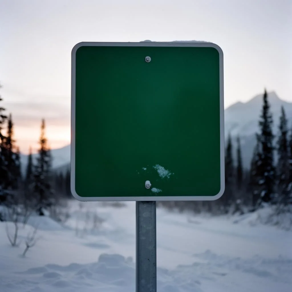
    Frosted unbranded green metal road sign post on the Icefields Parkway at first light, distant pine and snowline.
    Frosted unbranded green metal road sign post on the Icefields Parkway at first light, distant pine and snowline. — Icefields Parkway · 2025, from the VeePo Media reel. See the full gallery

    What can legally be shot instead.

    No work is undertaken here without the Nation's consent, arranged directly and in advance. Where that consent is not in place, the work is declined rather than quietly flown. The nearest locations where aerial work is flown lawfully:

    What the research actually says.

    Advanced certificate

    Transport Canada requires a Pilot Certificate for Advanced Operations to fly a remotely piloted aircraft in controlled airspace or near bystanders.

    Most of Calgary sits inside the CYYC control zone. An operator without this certificate cannot legally fly the majority of addresses in the city.

    Transport Canada , 2025 · Primary source
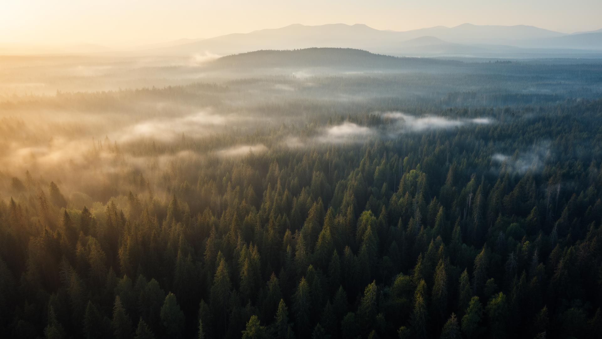
    Morley and what surrounds it.

    Relative positions of Morley and Ghost Lake, Exshaw, Canmore — not a navigational chart. Distances are great-circle approximations from the coordinates on each location page.

    Morley questions, answered.

    Can you fly a drone over Morley?

    Not without the Stoney Nakoda Nation's consent. The airspace itself is uncontrolled, so an airspace check returns clear, but the land is Nation land and permission to operate over it comes from the Nation directly.

    Does a clear NAV Drone result mean you can fly anywhere?

    No. NAV Drone answers an airspace question only. Land ownership, First Nation jurisdiction, park regimes and municipal bylaws all sit outside it, and each can prohibit a flight that the airspace check permits.

    Who grants permission to fly over First Nation land?

    The Nation itself. It is not a Transport Canada, provincial or municipal decision, and no level of RPAS certification substitutes for it. Where consent is not in place, the work is declined.

    What has to be checked before a drone flight in Morley?

    Stoney Nakoda Nation land. Each sits inside or immediately adjacent to Morley and is plotted before every sortie. The airspace here is uncontrolled, but the land is Stoney Nakoda Nation land. Flying over it is a matter of consent from the Nation, which is not a Transport Canada or municipal question and cannot be resolved by an airspace check.

    The rules that govern a Morley flight

    Morley flight quote

    Tell me where, andwhat it needs to show.

    Free quote · No obligation · Advanced RPAS certified · Reply within one business day