All 2026 Bookings FullNow Accepting Commissions for 2027Now Hiring — Contracted Drone VideographersStart the Conversation ↗

    Sectors / Environmental and land

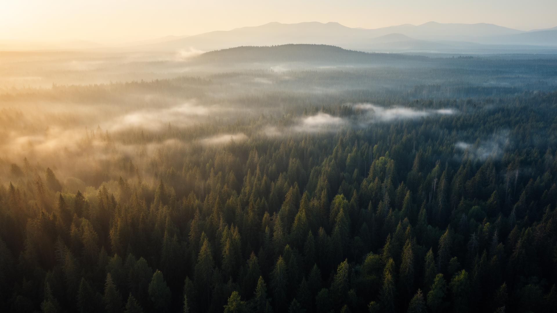
    Disturbance is a shape, and a shape only resolves from directly overhead

    An assessor standing on a site records condition at the points a person can reach. The extent of a disturbance, the boundary of a reclaimed area, the relationship between a working surface and a watercourse — those are shapes, and a shape is not something you can photograph from inside it.

    Scoped quote · NDA on request · Advanced RPAS certified · Reply within one business day

    Does VeePo Media work in environmental and land?

    Yes. VeePo Media captures reclamation progress, surface disturbance, watercourse proximity and site extent for environmental and land assessment work across Alberta and British Columbia, delivered to the consultant's specification with dated flight logs supporting the imagery.

    What gets captured.

    1. Disturbance extent

      The actual footprint of a working surface against the surrounding undisturbed ground — a boundary that is estimated from the ground and measured from above.

    2. Reclamation progress

      Vegetation establishment across a reclaimed area over successive seasons, flown from identical coordinates so change is visible rather than inferred.

    3. Watercourse relationship

      Setback, crossing condition and drainage between a site and adjacent water, captured in one frame that includes both.

    4. Access and encroachment

      Trails, third-party activity and unauthorised access across a parcel, visible as pattern rather than found by walking.

    The operational reality.

    • Reclamation is a seasonal comparison. Capture timed to a different point in the growing season than the previous survey produces imagery that cannot honestly be compared.
    • Leaf-off in late autumn and early spring reveals ground surface, boundaries and watercourse edges that summer canopy hides completely.
    • Provincial park land, national park land and First Nation land each carry separate restrictions that no level of RPAS certification overrides. Those are checked against the parcel before scoping, not after.
    • Remote parcels are constrained by daylight and access rather than airspace. Mobilisation is quoted from the access route.

    Who commissions it.

    • Environmental consultants and assessors
    • Reclamation and closure teams
    • Regulatory compliance managers
    • Land agents and surface land departments

    The evidence

    The numbers a business case is built on.

    Every figure carries its publisher, its year and a provenance grade. See the full evidence page.

    30% more

    McKinsey research cited across the inspection sector finds that organisations relying on manual inspection spend materially more on maintenance and safety than those using drone-based assessment.

    For a portfolio of assets, the inspection method is a recurring cost line, not a one-off purchase. The differential compounds annually.

    McKinsey & Company, cited by Averroes , 2025 · Industry aggregate
    Up to 75% less time

    McKinsey & Company reports that drones can cut surveying time by up to three quarters against traditional ground methods — a three-day site survey completed inside one.

    On a consulting engagement billed by the day, survey duration is not a line item. It is the schedule.

    McKinsey & Company, cited by Datumate , 2025 · Industry aggregate

    Over $40,000

    The National Safety Council puts the average cost of a single workplace injury above forty thousand dollars, before any legal exposure.

    Aerial capture removes the requirement to put a person at height or in a confined space to obtain the same image. That is a risk transfer, not a convenience.

    National Safety Council, cited by DSLRPros , 2025 · Industry aggregate

    Environmental and land questions, answered.

    Can aerial imagery support a reclamation assessment?

    It is used routinely to document extent and vegetation establishment over time. The requirement is consistency: the same coordinates, altitude and season on each visit, with flight logs retained, so successive surveys are genuinely comparable rather than merely similar.

    When in the year should a land parcel be captured?

    It depends on what must be shown. Leaf-off in late autumn or early spring reveals ground surface, boundaries and watercourse edges. Peak growing season shows vegetation establishment. The date is chosen from what the assessment needs to demonstrate.

    Are there parcels you will not fly?

    Yes. National park land requires a Parks Canada permit, provincial park land carries Alberta Parks restrictions, and flight over First Nation land requires the Nation's consent. Each is checked against the parcel at scoping and stated plainly if it blocks the work.

    Send the scope.Get a number back.

    Scoped quote · NDA on request · Advanced RPAS certified · Reply within one business day