All 2026 Bookings FullNow Accepting Commissions for 2027Now Hiring — Contracted Drone VideographersStart the Conversation ↗

    Areas we serve / Middle Springs

    Drone photography in Middle Springs: what the rules actually allow

    Middle Springs climbs the treed slope behind the Cave and Basin National Historic Site, on the shaded side of the valley — evening light leaves Cave Ave and Grizzly St while the far wall of the valley is still bright.

    Free quote · No obligation · Advanced RPAS certified · Reply within one business day

    Can a drone be flown in Middle Springs?

    VeePo Media does not fly in Middle Springs. Middle Springs lies inside Banff National Park. Parks Canada prohibits launching, landing and operating a drone within the park without a permit, and those permits are issued for restricted purposes that do not ordinarily include commercial listing or marketing work. What can be shot legally is shot from outside the park boundary. Aerial work for this area is flown from outside the boundary, and the nearest lawful vantages are identified before anything is quoted.

    Middle Springs at a glance.

    Operational facts for aerial work in Middle Springs, Alberta

    Operational facts for aerial work in Middle Springs, Alberta

    Base of operations
    Calgary, Alberta
    Drive time from base
    1.5 hours
    Airspace
    Banff National Park — Parks Canada permit regime
    Nearest aerodrome
    None relevant — park law governs before airspace class
    Authorisation required
    Yes — filed before booking is confirmed
    Flight status
    Permit regime — not flown commercially
    Certification
    Transport Canada RPAS Pilot Certificate — Advanced Operations
    Response
    Reply within one business day
    Airspace last verified
    2026-09-01

    Flying Middle Springs: the ground truth.

    Middle Springs climbs the treed slope behind the Cave and Basin National Historic Site, on the shaded side of the valley — evening light leaves Cave Ave and Grizzly St while the far wall of the valley is still bright. In most towns that aspect would simply push a shoot to morning. Here the scheduling question never arrives: the neighbourhood lies inside Banff National Park, and no routine commercial drone flight can be planned over it in any light.

    The honest sequence is legal position first, light second. VeePo Media says plainly what cannot be flown, and anything that can be — from outside the park boundary — is planned against the valley's real light and delivered in the standard turnaround.

    1. Airspace.

      Middle Springs lies inside Banff National Park. Parks Canada prohibits launching, landing and operating a drone within the park without a permit, and those permits are issued for restricted purposes that do not ordinarily include commercial listing or marketing work. What can be shot legally is shot from outside the park boundary.

    2. Terrain.

      A bench of curving residential streets cut into forested mountainside above the Cave and Basin National Historic Site, with the ground climbing steeply behind the lots and falling to the valley floor in front of them.

    3. Wind.

      Chinook-belt westerlies cross the whole region, with sharp differences between the sheltered lower streets and the exposed slope above — academic for flight in the neighbourhood, where park law settles the question first.

    4. Light.

      The shaded aspect keeps snow on the slope late and takes evening sun off the streets early — real characteristics of the place, and academic for drone work, since park law closes the question before the light does.

    5. On the ground.

      National-park regulation applies throughout the neighbourhood. Town of Banff rules operate beneath Parks Canada's and do not create any drone exception on residential streets. Roughly 90 minutes from the Calgary base. Mobilisation is trivial; the park boundary is the constraint that matters.

    What is plotted before a Middle Springs flight.

    These sit inside or immediately adjacent to Middle Springs and are checked on every sortie. None of them is visible from a map at driveway scale, which is why the address is confirmed against NAV Drone rather than assumed from the postcode.

    • Banff National Park (entire area)

    Landmarks and communities: Cave and Basin National Historic Site · Cave Ave · Grizzly St · Sundance Trail · Middle Springs Park

    From the reel

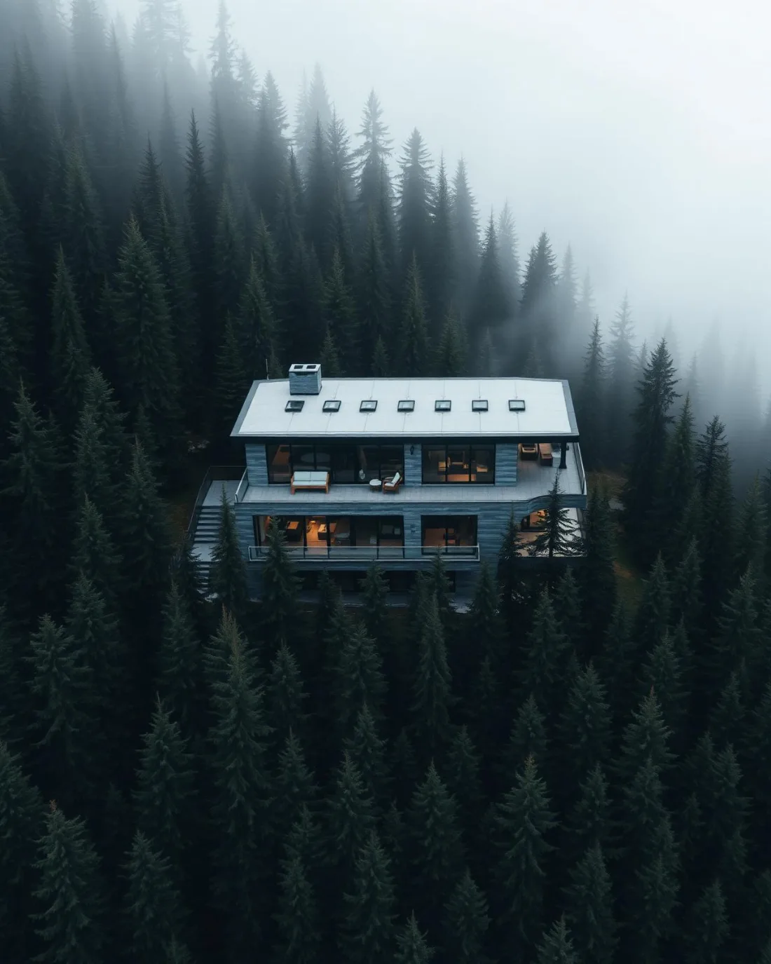
    Modern multi-storey house on a forested slope in heavy fog, dark conifers crowding the structure.
    Modern multi-storey house on a forested slope in heavy fog, dark conifers crowding the structure. — Aerial · Architecture, from the VeePo Media reel. See the full gallery

    What can legally be shot instead.

    The honest sequence is legal position first, light second. VeePo Media says plainly what cannot be flown, and anything that can be — from outside the park boundary — is planned against the valley's real light and delivered in the standard turnaround. The nearest locations where aerial work is flown lawfully:

      What the research actually says.

      68% faster

      Listings marketed with aerial photography have been reported to sell substantially faster than those using ground photography alone.

      On a listing carrying monthly holding costs, the weeks removed from time-on-market are the return on the shoot.

      RubyHome, real estate photography research roundup , 2024 · Industry aggregate
      403% more enquiries

      Listings that include video have been reported to receive several times the enquiry volume of listings without it.

      Enquiry volume is the top of the funnel. A listing that starts more conversations closes from a larger pool.

      RubyHome, real estate photography research roundup , 2024 · Industry aggregate

      Advanced certificate

      Transport Canada requires a Pilot Certificate for Advanced Operations to fly a remotely piloted aircraft in controlled airspace or near bystanders.

      Most of Calgary sits inside the CYYC control zone. An operator without this certificate cannot legally fly the majority of addresses in the city.

      Transport Canada , 2025 · Primary source

      Middle Springs and what surrounds it.

      Relative positions of Middle Springs and Banff, Tunnel Mountain, Castle Junction — not a navigational chart. Distances are great-circle approximations from the coordinates on each location page.

      Middle Springs questions, answered.

      Can a drone be flown over Middle Springs?

      No. Middle Springs is a Banff townsite neighbourhood, and the whole townsite lies inside Banff National Park. Parks Canada's prohibition on launching, landing and operating drones applies on residential streets exactly as it does in the backcountry, and the permits that exist cover restricted purposes, not property marketing. The legal position is stated before any quote.

      Can a Middle Springs listing include aerial photography?

      Not drone photography flown over the property — no operator can lawfully offer that inside the park, whatever their certification. A listing on Grizzly St or Cave Ave is sold on ground-level and legally sourced imagery instead, and any quote promising a routine drone shoot over a Banff home should be treated as a warning sign.

      What has to be checked before a drone flight in Middle Springs?

      Banff National Park (entire area). Each sits inside or immediately adjacent to Middle Springs and is plotted before every sortie. Middle Springs lies inside Banff National Park. Parks Canada prohibits launching, landing and operating a drone within the park without a permit, and those permits are issued for restricted purposes that do not ordinarily include commercial listing or marketing work. What can be shot legally is shot from outside the park boundary.

      The rules that govern a Middle Springs flight

      Middle Springs flight quote

      Tell me where, andwhat it needs to show.

      Free quote · No obligation · Advanced RPAS certified · Reply within one business day